
Professional aerial drone services for construction, real estate, and site documentation
We first agree on scope: capture frequency (weekly, biweekly, or by milestone), required views, and needed deliverables. Then we set a recurring schedule and fly consistently. Processed images are usually delivered within 48 hours.
All flights follow FAA Part 107 rules. The Remote Pilot in Command has final authority on safety and may change or delay flights for weather, airspace, or site conditions.
ARC Digital Site provides drone documentation and reality-capture for commercial projects. We tailor each job to your needs — from a one-time aerial photo set to regular site documentation throughout construction.
Construction Progress Documentation
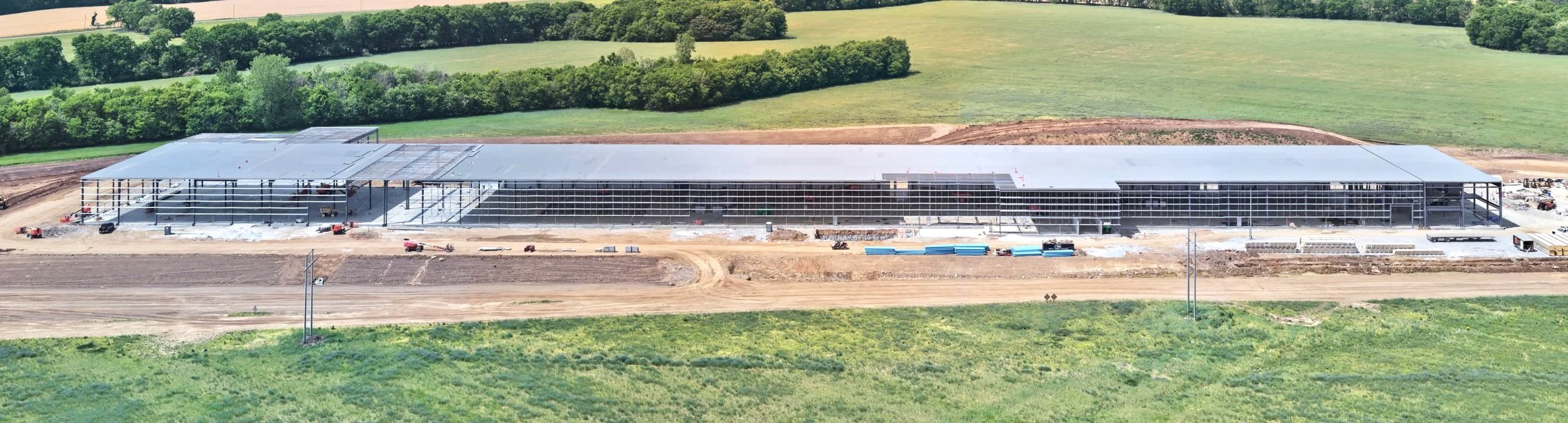
Recurring aerial capture of active job sites — weekly, bi-weekly, or milestone-based. Consistent vantage points, date-stamped deliverables, and a visual record your team can use for logistics, reporting and coordination.
Aerial Photography
High-resolution aerial stills for proposals, marketing, listings, and project records. Real estate, commercial development, and corporate applications. Delivered in RAW and edited formats, ready for your intended use.
Orthomosaic Mapping
Georeferenced aerial maps and elevation models for earthwork tracking, site planning, and as-built verification. Deliverables include GeoTIFF orthomosaics, DSM/DTM models, and 3D point clouds.
Roof and Facade Documentation
Close-range aerial capture of roofs, facades.. The imagery we deliver supports your team's condition assessments, maintenance planning, and insurance documentation — without lifts or ladders.
Serving Nashville and Middle Tennessee
ARC Digital Site is based in Nashville, TN, with service coverage across the Middle Tennessee region. We know the local development landscape and the contractors, architects, and developers working in it. Regional travel is available for projects outside our primary service area.
Ready to document your next project?
Tell us what you're working on. We will put together a scope and quote tailored to your deliverable needs.
Documentation You Can Build On
High-resolution aerial imagery and orthomosaic maps delivered in formats your team already works with. Every project is captured with precision and returned with clear, organized deliverables.
FAA Part 107 Certified. Commercially Insured
ARC Digital Site operates under full FAA Part 107 certification with commercial liability coverage. Your project gets professional-grade documentation without the compliance risk.